FIRST ALERT FORECAST: A chilly November weekend on the way
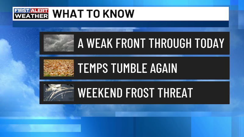
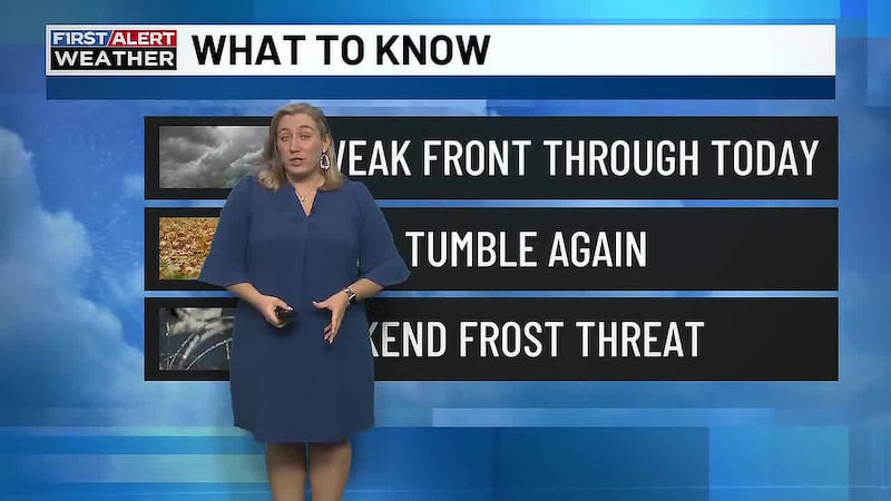
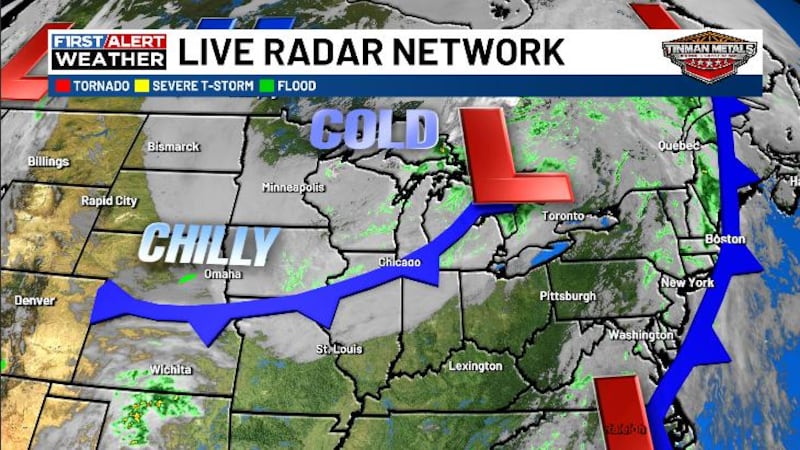
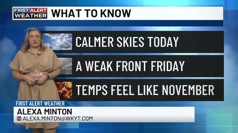
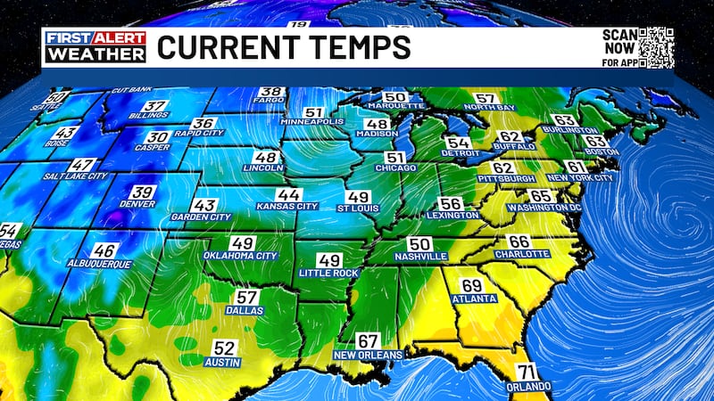
LEXINGTON, Ky. (WKYT) - We are heading into the first full weekend of November and it’s really going to start feeling like it as we see highs in the 50s and overnight lows getting at or below freezing this weekend.
Skies Clearing Before a Chilly Night
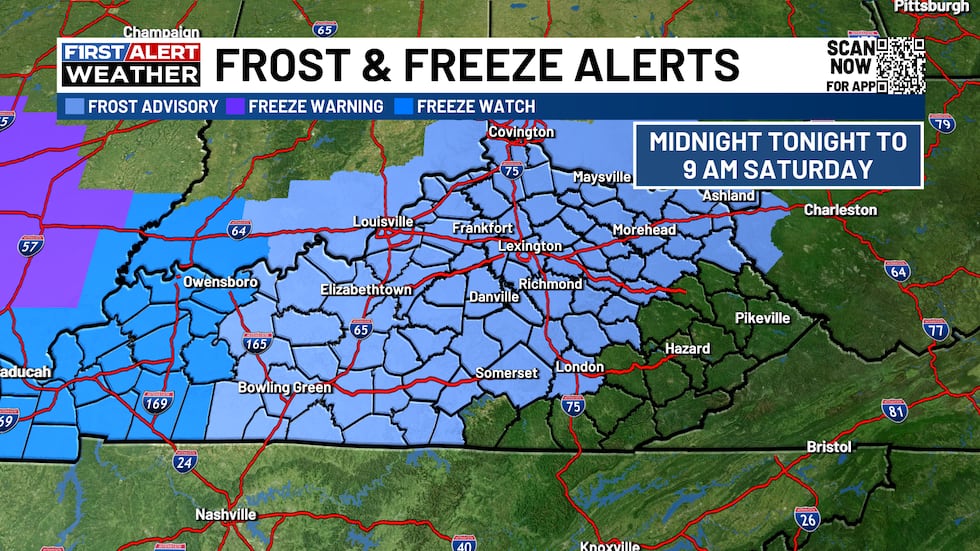
Cloudy skies will continue to be with us as we head through the evening. It will be a chilly evening with the chance of a stray shower here and there. Skies will clear as we head into the overnight as temperatures fall into the mid to upper 30s. Patchy frost is expected overnight tonight.
Sunny and Chilly for Saturday
Plenty of sunshine will be with us throughout the day Saturday with just a few passing clouds at times. It will be a chilly day as we see highs only in the mid 50s. A few more clouds will show up as we head into Saturday night as a widespread freeze is expected. Overnight lows will dip down into the low 30s.
Keeping the Sunshine Around Sunday
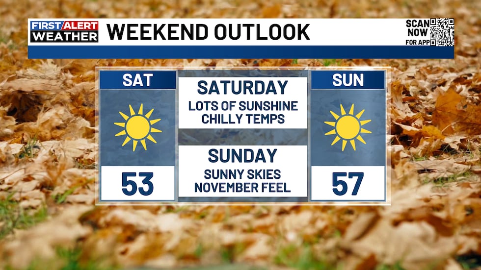
Plenty of sunshine will be with us once again for your Sunday as temperatures will continue to stay on the cooler side. Highs on Sunday will look to reach the upper 50s to low 60s. It will be another very chilly night Sunday night with patchy frost expected. Lows will be in the mid to upper 30s.
Milder Temperatures Start Next Week
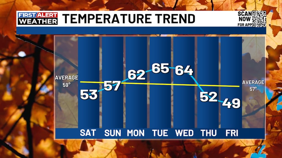
Another sunny day is on deck for Monday as temperatures will get a little bit warmer. Highs on Monday reach the low to mid 60s. Sunshine will continue into Tuesday as Tuesday will be the warmest day of the next seven with highs in the mid to upper 60s. Highs will continue to stay in the mid to upper 60s for next Wednesday.
More Chilly Air Towards End of Next Week
Another big shot of chilly air arrives late next week. This will look to bring a few showers with it next Thursday night. Highs only reach the 50s Thursday and the upper 40s to around 50 next Friday.

Copyright 2026 WKYT. All rights reserved.