FIRST ALERT WEATHER DAY | Tracking rounds of strong storms and heavy rains for the weekend

LEXINGTON, Ky. (WKYT) - Stormy conditions are taking center stage across Kentucky as we head into the weekend, bringing multiple rounds of heavy rain, the threat for severe weather, and an increasing concern for flash flooding.
A slow-moving boundary settles into the region today will act like a track for waves of showers and thunderstorms to ride along through tonight and into Saturday. Forecast models show these storms repeatedly moving over the same areas, which could quickly overwhelm drainage systems and lead to flooding issues.
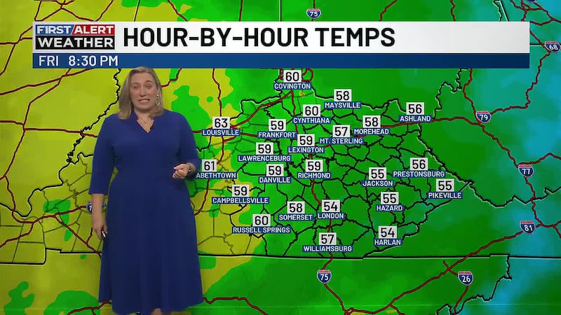
Timing of today’s storms is scattered, but we see on-and-off heavy showers sliding through - with cloud cover and warmer temps in between.
Because of that setup, a Flood Watch is in place through 8 am Saturday for areas along and north of the I-64 corridor. Those locations will be most at risk for excessive rainfall and rapidly rising water, especially in low-lying or flood-prone spots. Another Flood Watch is out for eastern Kentucky through 10am Saturday morning
Strong to severe storms are also possible this afternoon and evening. central Kentucky is under a Level 2 out of 5 risk for severe weather, meaning a few storms could produce damaging wind gusts and large hail. While not widespread, there is also the chance that an isolated tornado could spin up.
The active pattern doesn’t shut down after today. More showers and storms are expected to redevelop on Saturday, keeping both the flooding and severe weather threats going into the start of the weekend.
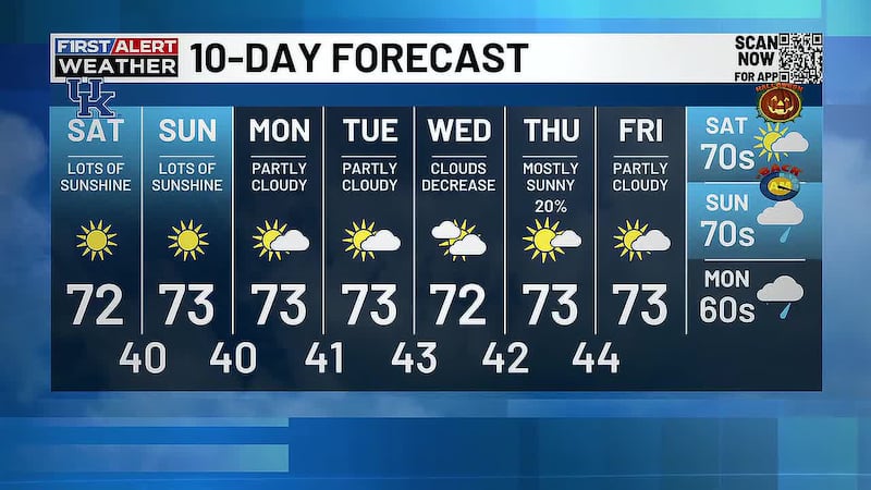
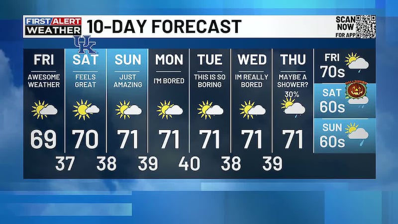
Once this system moves out, a big shift is on the way. Heat and humidity will surge heading into next week, with heat index values likely climbing into the triple digits.
Stay weather aware this weekend as we track all this action rolling into our skies.

Copyright 2026 WKYT. All rights reserved.