FIRST ALERT WEATHER DAY: More heat, humidity, and storms the rest of the weekend
LEXINGTON, Ky. (WKYT) - A FIRST ALERT WEATHER DAY continues now through the weekend as we continue to see a relentless pattern that features more showers and storms that could be strong to severe and more heavy rainfall that could lead to flash flooding.
A Tropical Feel Tonight
Partly to mostly cloudy skies will be around for this evening with a stray shower or thunderstorm possible. Any shower or storm that goes up could be strong to severe with damaging winds and a quick spin up tornado possible. Storms could also contain heavy rainfall that leads to flash flooding. Some clouds linger into the overnight as it stays very warm and very muggy with lows in the low to mid 70s.
Heat, Humidity, and More Storms Sunday
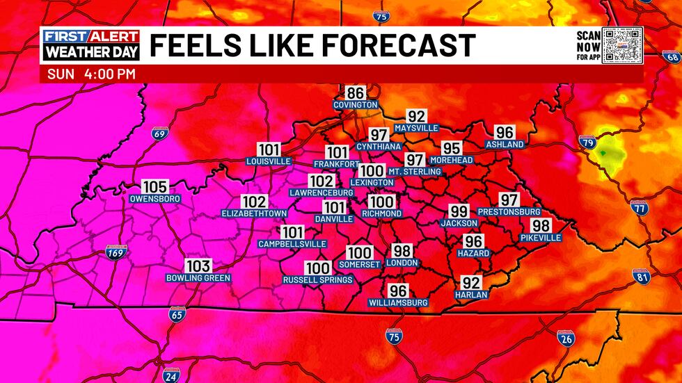
Sunday will start out with mostly sunny skies. More clouds arrive heading into the afternoon as we could see a few storms go up as well. Again, storms could be on the strong to severe side with damaging winds the main threat. Storms could again contain locally heavy rainfall that leads to flash flooding. It will be hot and very humid day with highs in the low to mid 90s, feeling more like 100-105 degrees. A few more showers and thunderstorms will look to show up late Sunday night as we see lows in the low to mid 70s.
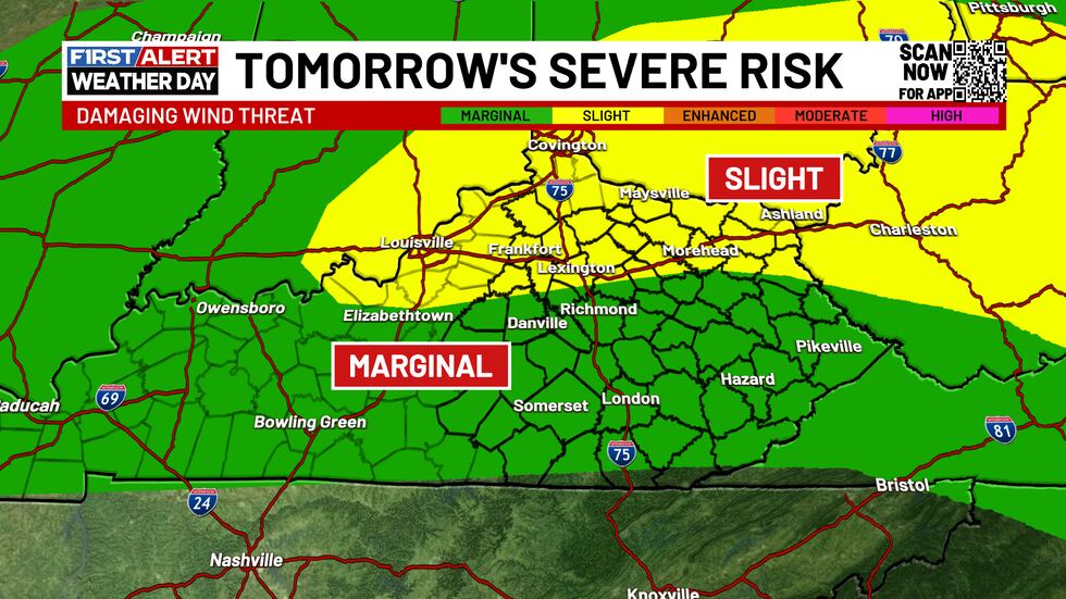
Showers and Storms Continue Monday
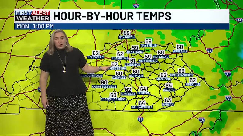
A few more showers and storms will be with us again for the day Monday. It will be a really warm and very humid day once again with highs of 85-90 degrees.
Finally a Nice Change for Tuesday
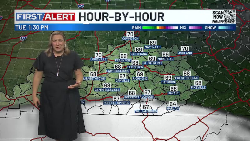
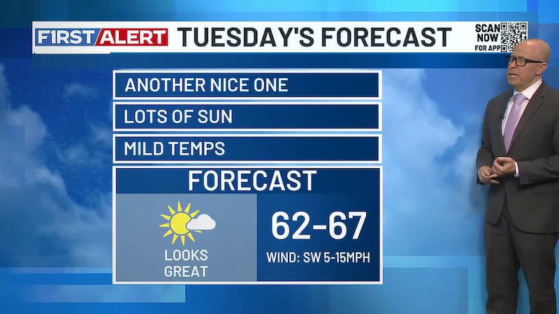
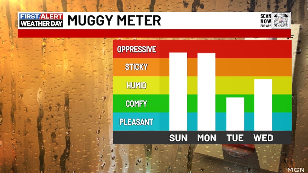
Tuesday will be a much better day as we see lots of sunshine and calmer conditions. You’ll also notice a big drop and humidity which will make things feel pretty good. Highs on Tuesday look to reach the mid to upper 80s.
Humidity and Some Storms Return
It stays quiet during the daytime Wednesday as humidity starts to creep up again some. Highs will be in the upper 80s to low 90s Wednesday. Wednesday night, we will see the return of scattered showers and thunderstorms.
Cooler with Scattered Activity Late Next Week
Scattered showers and thunderstorms will continue into Thursday as it will be a little cooler. Highs Thursday look to only be 80-85. This rinses and repeats for next Friday.
Some Showers Early Next Weekend
Next weekend could still feature scattered showers early in the weekend as highs remain in the low to mid 80s.

Copyright 2026 WKYT. All rights reserved.