FIRST ALERT | Chris Bailey talks about a late week taste of winter
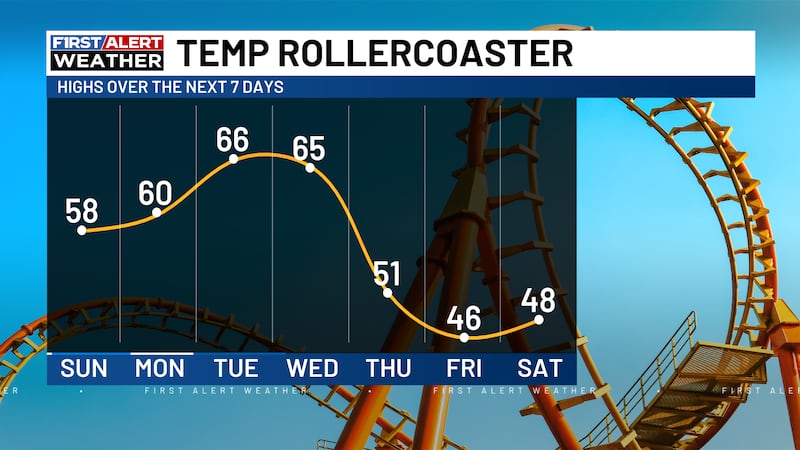
LEXINGTON, Ky. (WKYT) - t’s a really nice start to the week as milder winds kick in across the entire region. The end of the week will look and feel much different as Old Man Winter attempts to visit the Bluegrass State for the first time this season.
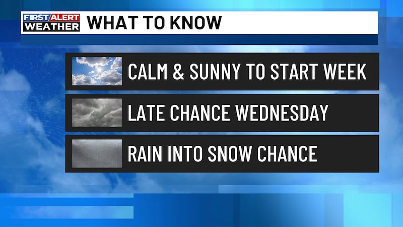
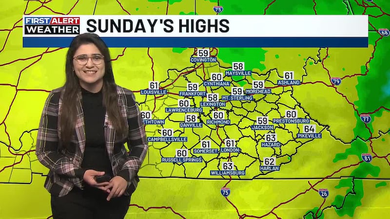
As usual, we begin with today. Highs are in the 60–65-degree range with a mix of sun and high clouds. This is some pretty nice stuff and similar weather will carry us into Tuesday. Then, the changes show up.
Here’s a breakdown:
WEDNESDAY
- Temps are back into the 60s as southwest winds gust up.
- Clouds will increase and thicken throughout the day.
- Low pressure moves into the western Ohio Valley by evening.
- Showers and a few storms enter western Kentucky ahead of this low during the afternoon and evening.
- Rain and wind then sweep eastward across the state Wednesday night.
THURSDAY
- That low then deepens as it moves toward Ohio or Appalachian Mountains Thursday.
- The potent upper low then drops in behind it into our region.
- High temps range from the mid 40s to mid 50s with very gusty winds.
- Showers will be noted on and off for much of the day.
THURSDAY NIGHT
- As the upper love drops right into the region, our temps take a dive.
- Most areas are into the low and mid 30s by Friday morning with gusty winds making it feel colder.
- Gusty showers will increase once again.
- The potential is there for some snow to mix in with the rain across the eastern half of the state by morning.
FRIDAY
- A period of backlash rain and/or snow will be noted across the eastern half of the state as the low deepens to our northeast.
- The core of the upper low passes through this region bringing many areas chilly showers with the potential for some flakes mixing in.
- Highs may not get out of the 30s across central and eastern Kentucky.
- Gusty winds make it feel below freezing for much of the day.
FRIDAY NIGHT/SATURDAY
- A strong northwest wind flow will pick up moisture from Lake Michigan and bring a plume toward the region.
- This is especially the case Friday night. This plume may include a few rain showers with flakes mixing in.
- Temps drop into the mid and upper 20s with a wind chill in the upper teens and low 20s.
- Saturday morning flakes move away from the east with skies becoming partly cloudy.
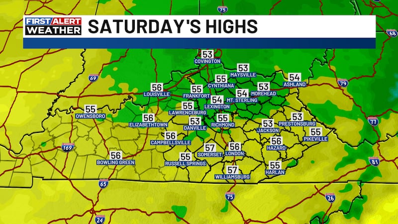
- Highs range from the upper 30s to low 40s with wind chills making it feel much colder.
Is this a major event around here? Not even close, but it could bring some of us the first flakes of the season. It’s always fun to track the first potential flakes of any season, but especially in a fall that’s been so darn warm.
Copyright 2026 WKYT. All rights reserved.