FIRST ALERT | Hot and humid with chance of severe weather
More strong to severe thunderstorms are likely
LEXINGTON, Ky. (WKYT) - Most of this week has been hot and humid, but we will see a break in this pattern. Thunderstorms are likely today ahead of a weak cold front.
Today’s Forecast
Storms are brewing this morning, with some on the stronger side. This will clear up midday, and we will have a break from rain ahead of a stronger round of storms.
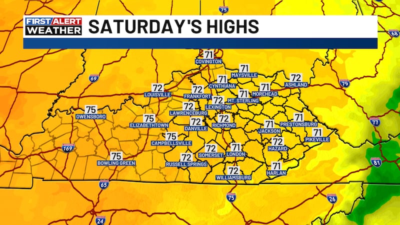
More hot and humid conditions are in store for our Saturday. Temperatures will climb to the low 90s, and the heat index will reach 100 degrees in some areas.
There is a chance of a few pop-up storms late this afternoon to early evening, likely on the weaker side. A line of strong to severe thunderstorms will form at around 8-9 pm in northern Kentucky and move south into the overnight hours.
Most of the area will see strong to severe thunderstorms between around 10 pm and midnight. Damaging winds and torrential rainfall are possible tonight, which could result in over two inches of rainfall in a few areas.
Short Break from Heat
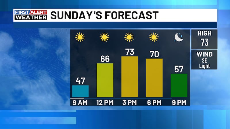
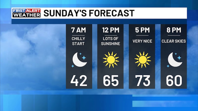
Sunday will be cooler and drier. Afternoon highs will be in the low to mid-80s, and dew points will be in the 50s to low 60s. There will be mostly clear skies to start the week.
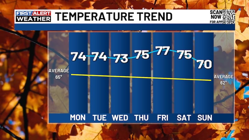
Temperatures will slowly but surely climb back up to the low 90s by Wednesday. It will not be as muggy as this past week, but it will feel toasty.
Storm chances will return on Thursday, ahead of a cold front. Afternoon highs will go back to the low 80s on Friday.

Copyright 2026 WKYT. All rights reserved.