Cooler day with isolated showers possible
Temperatures will reach the 90s again this week
LEXINGTON, Ky. (WKYT) - Mostly quiet conditions will start the week, and there will be a brief break from the heat.
Splendid Sunday
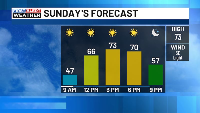
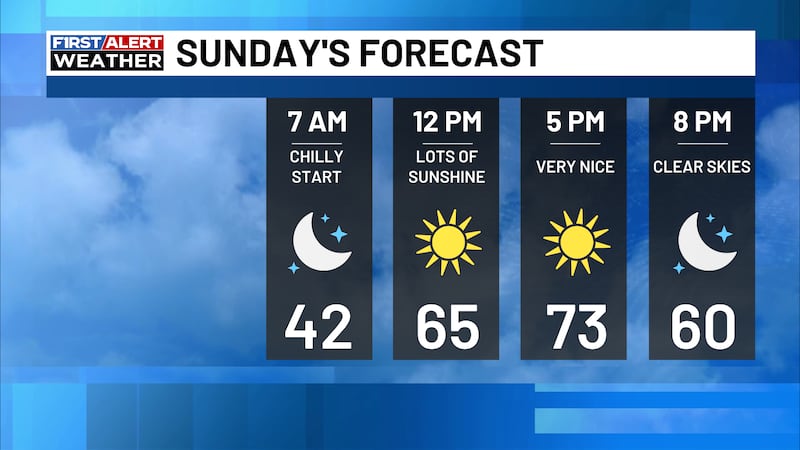
Temperatures will be cooler today, with highs in the 80s. There is a chance of isolated showers in the morning to mid-afternoon time frame.
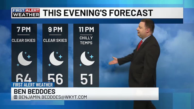
Skies will clear by the late afternoon and stay clear overnight. Lows will be in the upper 50s to mid-60s.
Marvelous Monday
Labor Day is looking good! It will be a few degrees warmer, with afternoon highs in the mid to upper 80s.
There is a chance of an isolated storm near Lake Cumberland and further east in the evening, likely around 8-9 pm. Other than that, it will be a nice day, with dewpoints staying low.
Toasty Tuesday
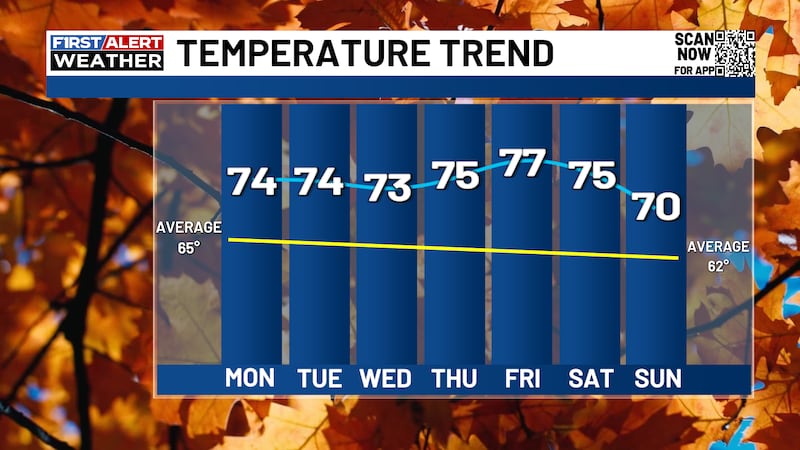
The warming trend will continue on Tuesday, with temperatures reaching the upper 80s. A few areas may reach 90 degrees.
There will be plenty of sunshine Tuesday and most of Wednesday, and it will not be very humid.
Late-Week Storms
Temperatures will peak on Wednesday, with afternoon highs in the upper 80s to low 90s. Rain chances return late Wednesday evening.
Scattered showers and thunderstorms are likely on Thursday, ahead of a cold front. High temperatures will likely be earlier in the day.
A few lingering showers are likely on Friday and Saturday. Afternoon highs will be in the low 80s on Friday and warm back up to the upper 80s to low 90s by next Sunday.

Copyright 2026 WKYT. All rights reserved.