FIRST ALERT| Chris Bailey is watching the weekend
LEXINGTON, Ky. (WKYT) -It’s another in a long line of awesome fall weather days and this continues through the end of the week. All of that looks to change this weekend with a potential impact of a tropical system coming at us from the Gulf.
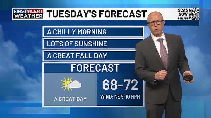
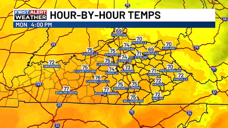
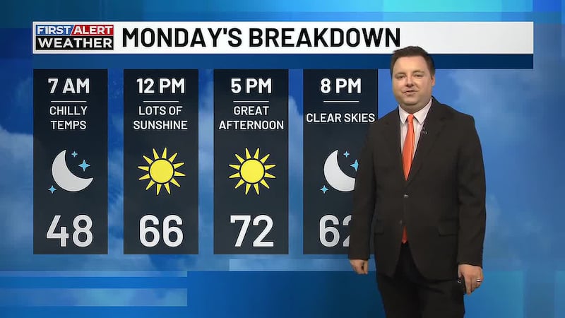
Our day is starting on a seasonably chilly note with temps in the upper 30s to low 40s. Some patchy frost may even show up in a few of the sheltered valleys. Temps this afternoon range from the upper 60s to mid 70s from east to west.
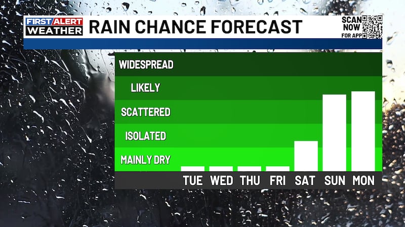
Skies are awesome and this same sky will be with us through Friday. Temps come up Wednesday and Thursday with 80 possible in some areas. Another weak cold front drops in Thursday night, knocking the temps back down several degrees for Friday.
Everything that happens after this revolves around what’s developing down in the Gulf. This system is likely to become Isaias in the next few days.
What’s left of this system moves our way Saturday night through Monday. This may bring heavy rain and gusty winds.
Copyright 2026 WKYT. All rights reserved.