Alexa Minton’s Forecast | Another sunny afternoon ahead of a busy weather weekend
LEXINGTON, Ky. (WKYT) - Kentucky’s stretch of sunshine continues through the end of the workweek, but changes could be on the way this weekend as we keep an eye on the Gulf.
A cool start, comfortable finish
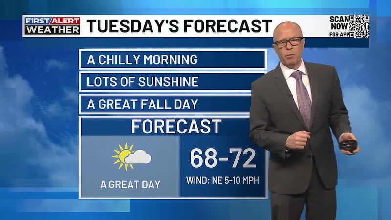
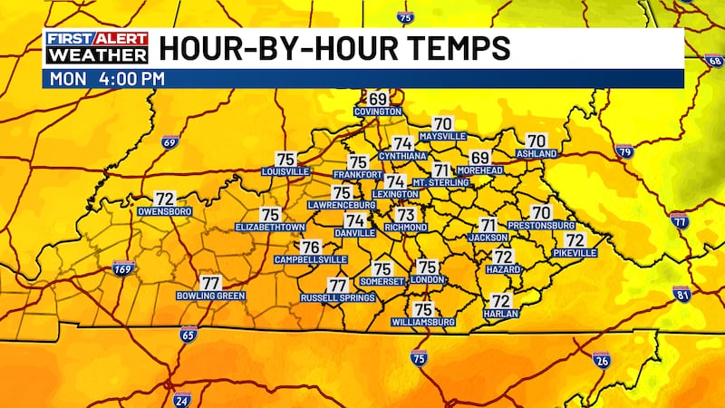
You need your jacket again this morning, with temperatures in the mid 40s. Afternoon highs will reach the upper 70s across eastern Kentucky and some regions have a shot of climbing all the way into the 80s.
The warming trend continues into Thursday, when some spots could approach 80 degrees again. Mostly clear skies remain in place through Friday, keeping the forecast dry for the rest of the workweek.
A weak cold front slips through Thursday night, bringing a modest cooldown for Friday. That drop won’t last long, with temperatures potentially returning to the 80s in some areas Saturday.
Weekend Tropical Rain Threat
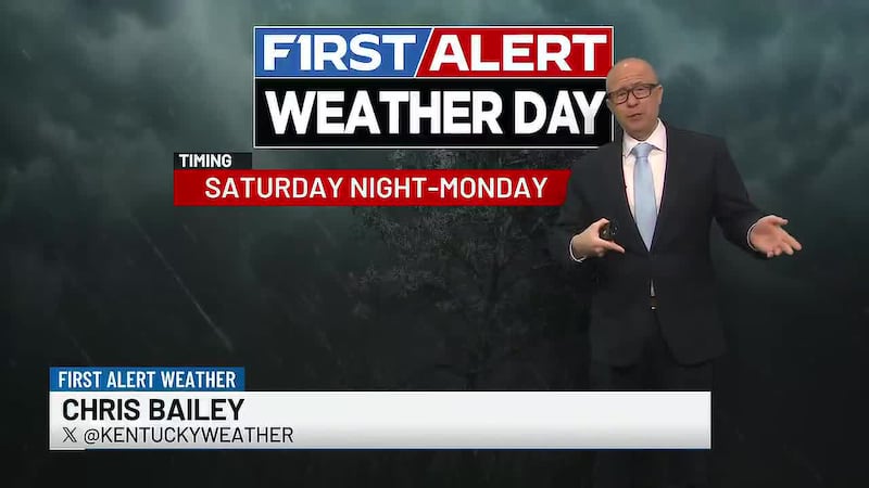
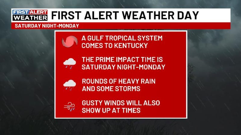
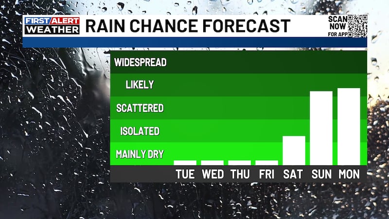
Our next weather change depends on the track of a tropical system developing in the Gulf. Its remnants could spread rain into Kentucky this weekend, with showers potentially continuing into early next week.
Current projections favor rainfall totals of around an inch across much of the region. Some locations could receive more, depending on where the low-pressure center tracks. Stick with your First Alert Weather Team as we track all the latest.
Have a great day y’all!

Copyright 2026 WKYT. All rights reserved.