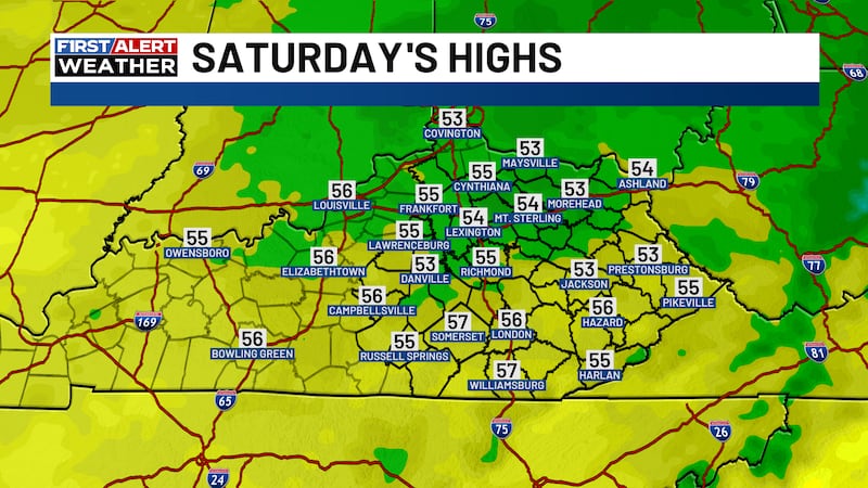
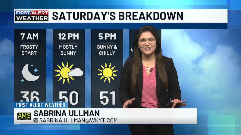
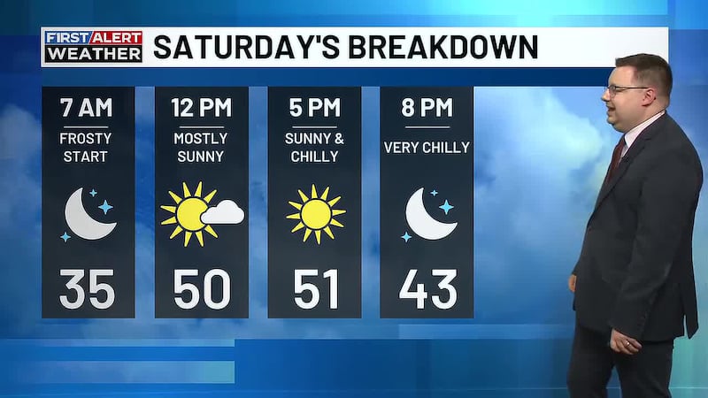
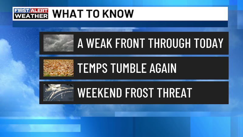
FIRST ALERT FORECAST: Widespread freeze tonight before a seasonal and sunny Sunday
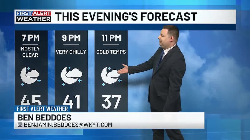
LEXINGTON, Ky. (WKYT) - The coldest temperatures of the season so far arrive tonight as temperatures will look to dip down just below freezing. This will be followed by a Sunday full of sunshine and highs return to average.
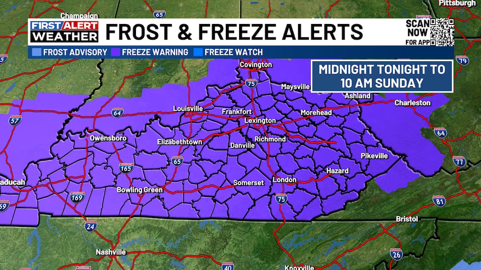
Widespread Freeze Expected Saturday Night
Partly cloudy skies are expected for this evening with clearing skies heading into the overnight. It is going to be a cold Saturday night as temperatures fall down into the low 30s for lows. A widespread freeze is expected overnight.
A Sunny and Seasonal Sunday
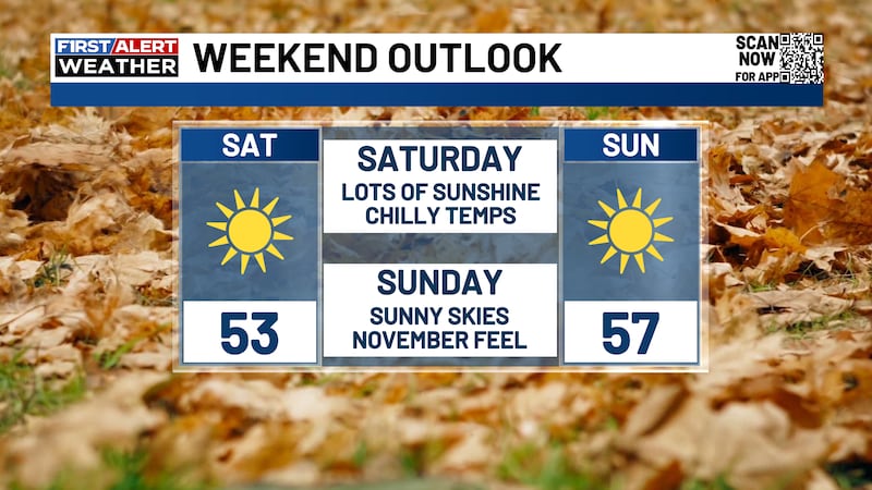
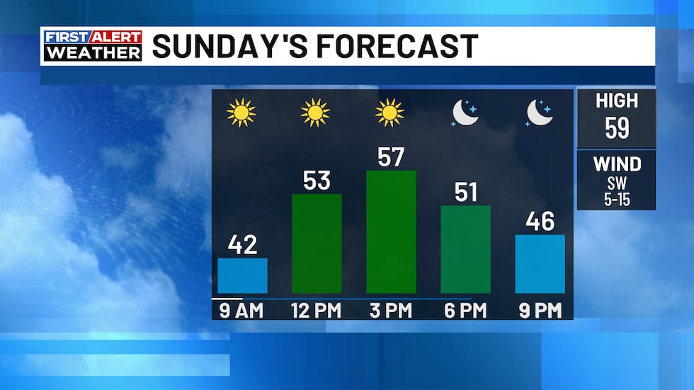
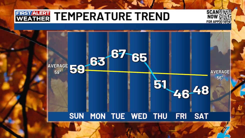
Lots of sunshine is expected for Sunday as temperatures rebound in the afternoon. It will be a Sunday with seasonal temperatures as highs reach the upper 50s to low 60s. Clear skies are expected for Sunday night as temperatures fall back down into the mid 30s. Widespread frost is anticipated for Monday morning.
Sunny and Mild Start to Next Week
Monday will be another day where we see lots of sunshine as it temperatures start coming up a bit. Highs on Monday will be into the mid 60s as it will be a beautiful day. The sunshine will continue into Tuesday as it turns mild across the region with mid to upper 60s for highs.
Mild Wednesday with Rain Late
Wednesday will feature a mix of sun and clouds throughout the day as we see temperatures again reach the mid to upper 60s for highs. Scattered showers will arrive Wednesday evening turning into a steady rain Wednesday overnight.
Rain Ushers in Changes Thursday
Rain will continue into Thursday morning as it will turn very chilly for Thursday. Highs on Thursday only reach the upper 40s to low 50s. Scattered showers will look to linger into Thursday evening some clearing overnight.
Very Chilly End of Next Week
It will feel more like winter Friday and Saturday as cold temperatures settle in. Highs on Friday will only reach the low to mid 40s with overnight lows in the mid to upper 20s! Next Saturday will still have highs only in the mid to upper 40s.

Copyright 2026 WKYT. All rights reserved.