FIRST ALERT | Chris Bailey has a wild weather ride
LEXINGTON, Ky. (WKYT) - It’s another absolutely amazing day across Kentucky and we have one more mild day before a pretty dramatic change. This change can bring the first flakes of the season into parts of the region by Friday,
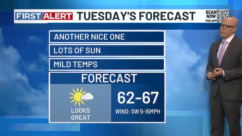
Highs today make a run at 70 in the west with mid and upper 60s across most areas. Skies will be partly sunny.
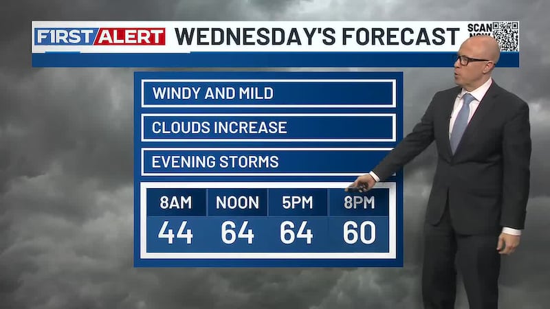
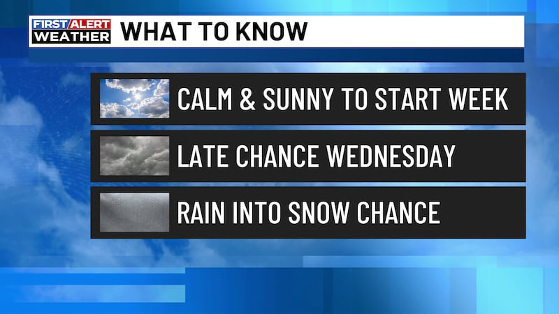
Highs on Wednesday are back into the 60s on a strong southwest wind. That’s ahead of clouds thickening during the afternoon and evening as a cold front approaches from the west. A broken line of showers and storms develops along and ahead of this in western Kentucky. That line then races across the state Wednesday evening into the wee hours of Thursday.
A few of these storms may even be strong or locally severe. The Storm Prediction Center has a low-end risk for severe weather for parts of Kentucky.
A few gusty showers will be noted behind this system for Thursday as temps drop into the upper 40s and low 50s. This won’t be all day stuff by any means.
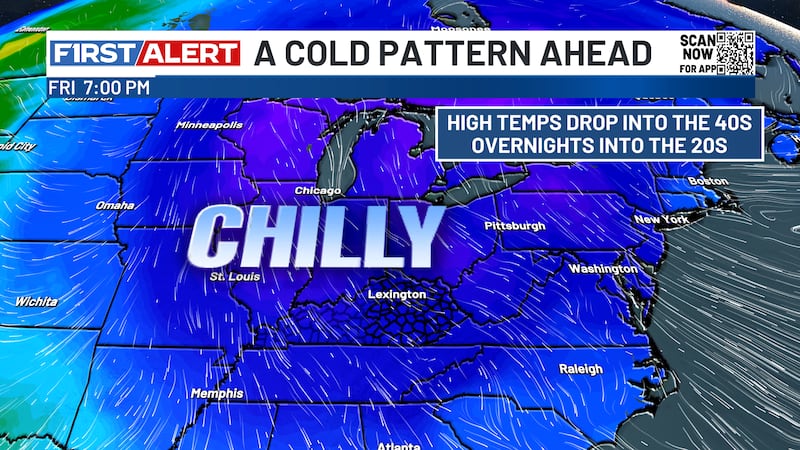
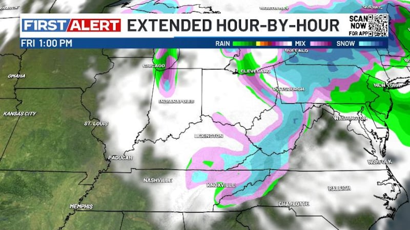
The upper low then drops in Thursday night and Friday, bringing the chance for a few flakes to central and eastern Kentucky. The best chance in seeing some flake action will be in the east and southeast with the high mountains of southeastern Kentucky.
Cold air controls the weekend with temps averaging well below normal. Seasonable temps take us into early next week before a milder surge shoots in.
Copyright 2026 WKYT. All rights reserved.