Jim Caldwell's Forecast | Tracking our first snowfall of the season

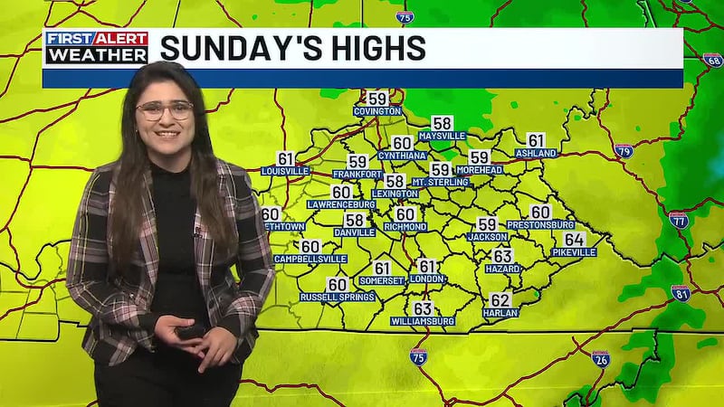
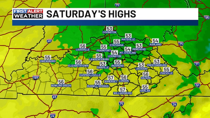
A strong system is rolling in later today. Out ahead of this system our temperatures will surge. That's where we were yesterday and where we'll be again today. The biggest difference is the arrival of rain as this system enters the area. Most of it gets here later this evening. Winds will be gusting through the region at 25-35MPH.
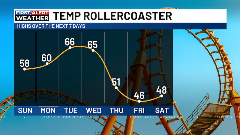
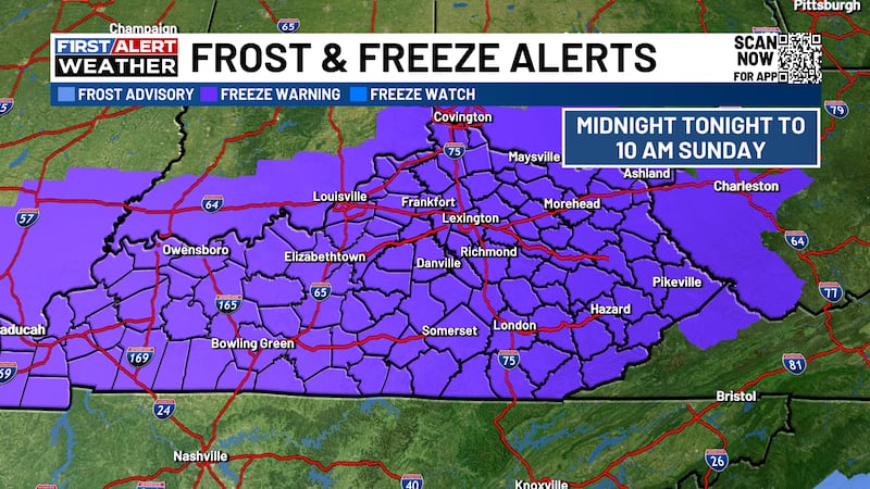
Later tonight the rain arrives and the cold air begins to plow through Kentucky. Temperatures will reach 60 or higher this afternoon and by late tonight we could dip deep into the 20s. I am talking a 40-degree swing between highs this afternoon and lows overnight. Tuesday's highs won't even reach freezing.
You didn't come here for the cold, you came here for the snow talk.
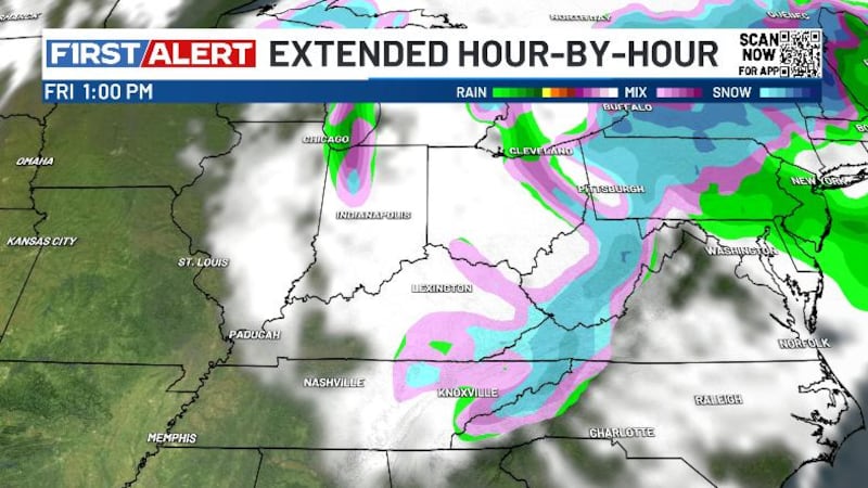
- Rain will make a transition to snow tonight.
- This snow will come down at a moderate rate.
- It will lead to our first accumulations of the season.
- The bulk of the snowfall will range from 1" to 3"
The cold temperatures will take control even after the snow quits.
We'll keep you up-to-date!