Adam Burniston's Forecast | Heavy rains expected to continue as Nate moves through Kentucky

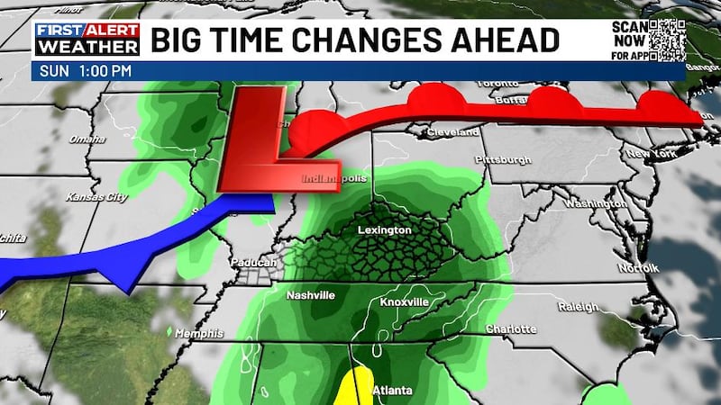
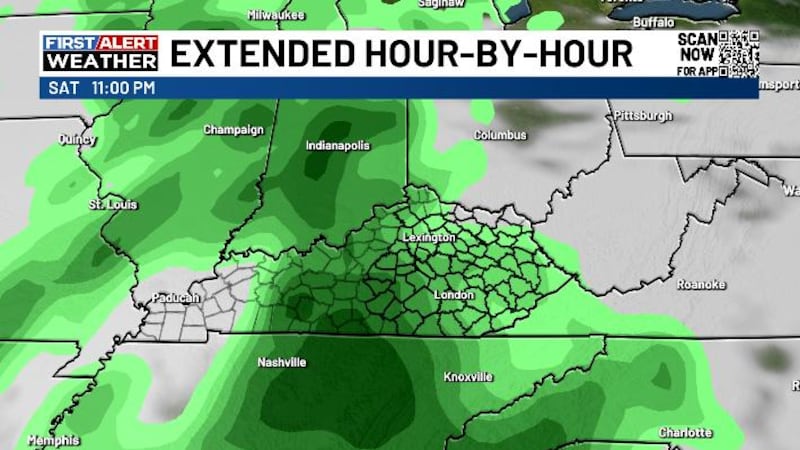
The First Alert Severe Weather Day will be continuing into this evening as heavy showers continue to bring a flooding threat across Kentucky.
So far today many areas of central Kentucky has already seen anywhere from 1"-3" inches of rain with some localized areas possibly seeing 4". Another 2" inches of rain is still possible tonight as Nate continues to move through southeast Kentucky. It's been a cool day as well with highs today only reaching the upper 60s and lower 70s. As we head into the evening and overnight hours we won't be seeing these temperatures change much either. Lows tonight will only fall into the mid-60s across our region with some breezy winds at times as well.
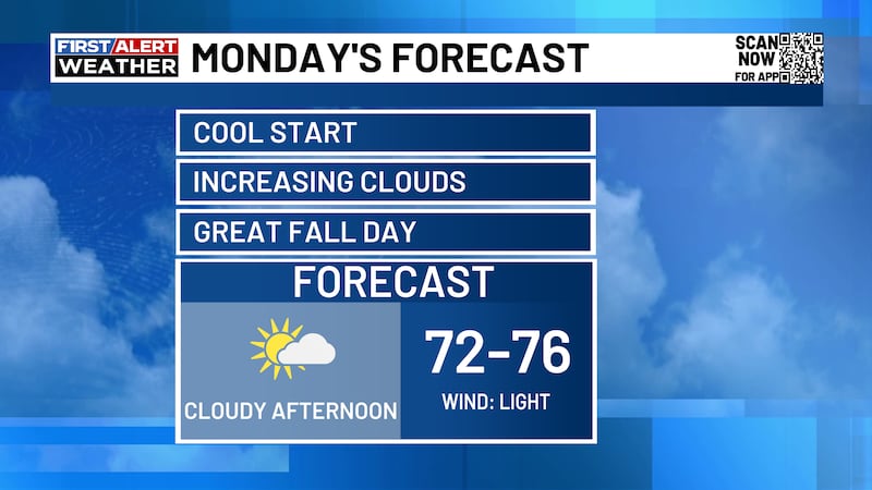
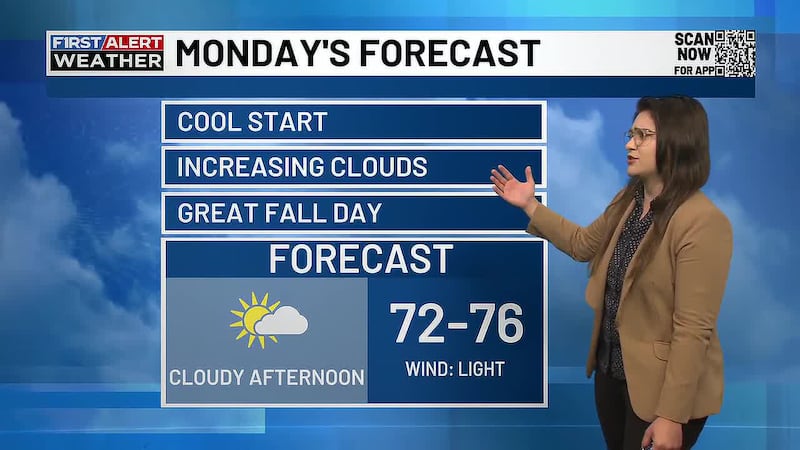
Continuing into the work and school week on Monday rain will stick with us. Nate will have moved off to our east, but wrap around rain will continue to affect our area in the morning and afternoon hours. Fortunately, this rain will be mostly scattered across our state so it won't necessarily be a complete washout like Sunday, but keep the rain jackets handy. By the evening, things will start to dry up leading to some decent conditions overnight, but that too won't be lasting very long. Highs on Monday will reach into the mid-70s with overnight lows falling into the mid-60s.
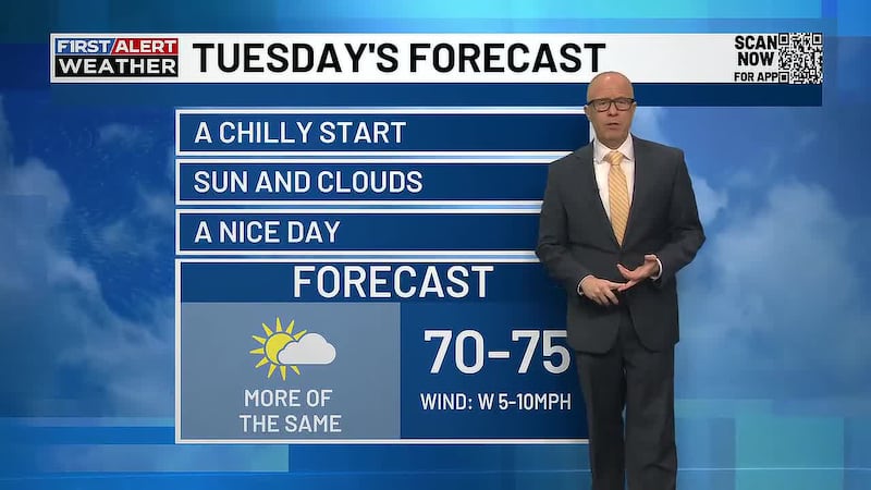
By Tuesday and Wednesday a front will arrive to finally give us our last push of showers and storms across our region. The first part of Tuesday will stay dry and then rain chances increases into the evening and continues into Wednesday morning. After this front moves through, things will become much drier with fairly nice conditions. Temperatures will range throughout the week as well. Wednesday will be our coolest day with highs in the lower to mid-70s, but then by the end of the week highs could be back up into the upper 70s with possibly another 80 degree day or two by the weekend.