Chris Bailey’s Forecast | Breaking Down The Weekend Ahead
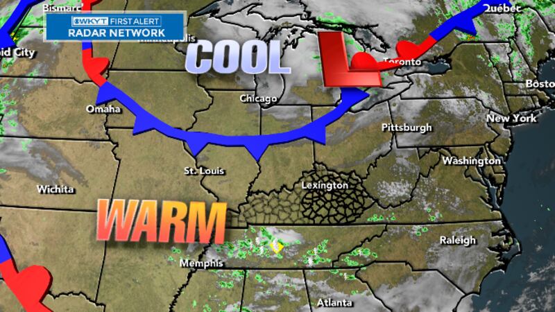
LEXINGTON, Ky. (WKYT) - We have a weak cold front sliding into the region later today and this will bring another shot of cooler temps to start the upcoming weekend. Beyond that, the focus of the forecast is on one more big upper level system set to impact our weather.
Temps out there today are generally in the 80-85 degree range for many. There’s even the slight chance for a shower or storm to go up at some point.
There’s also a little more smoke in the sky coming from those Canadian wildfires that continue to burn. This smoke is coming from the northwest and looks to hang around through the start of the weekend.
There’s a lingering shower or storm chance into Friday as a cold front drops through here. Temps are very pleasant behind this with some of us staying in the upper 70s once again.
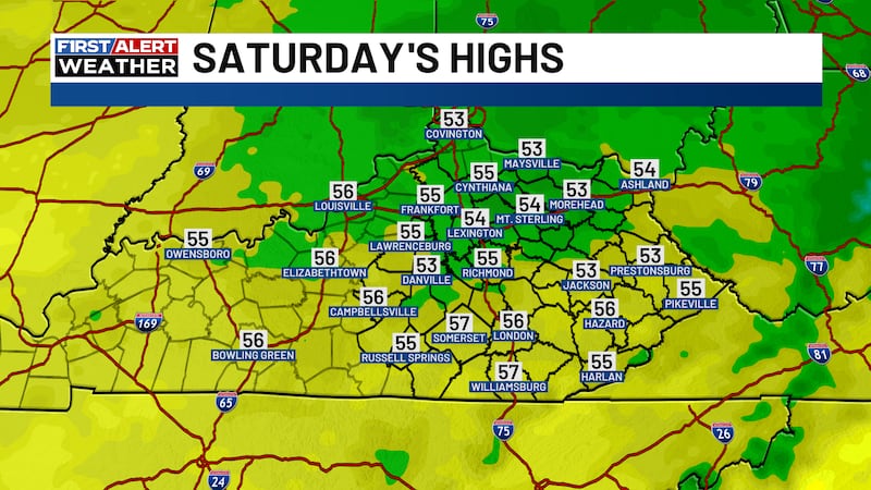
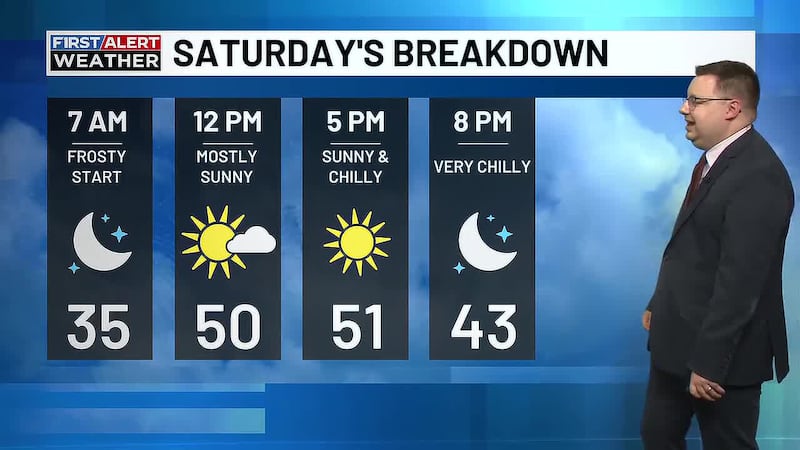
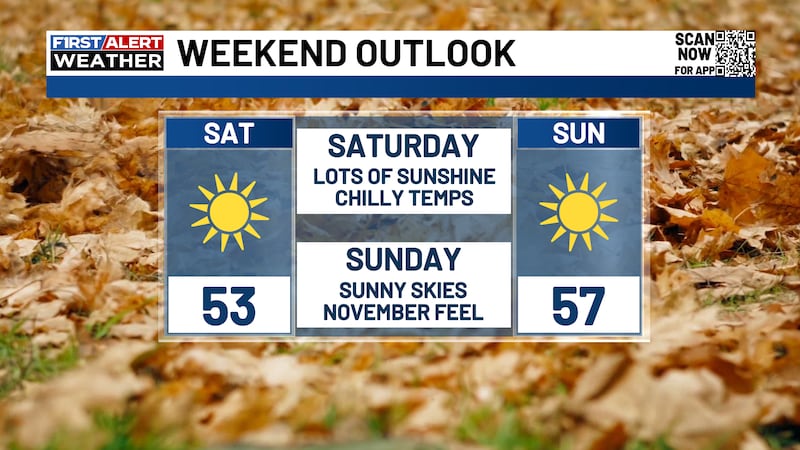
Saturday may start with a few numbers in the upper 40s and low 50s in the east with 80-85 coming up during the afternoon.
From here, we watch another bowling ball upper level low spinning into the region and becoming cut off from the main flow for much of next week. That bings a few showers and storms in here by late Sunday into Monday. Rounds of showers and storms will be possible into early next week.
Copyright 2023 WKYT. All rights reserved.