Alexa Minton’s forecast | Taking a look at your weekend forecast
LEXINGTON, Ky. (WKYT) - This weekend promises some big changes in the forecast, with some storms and a summer surge in the outlook.
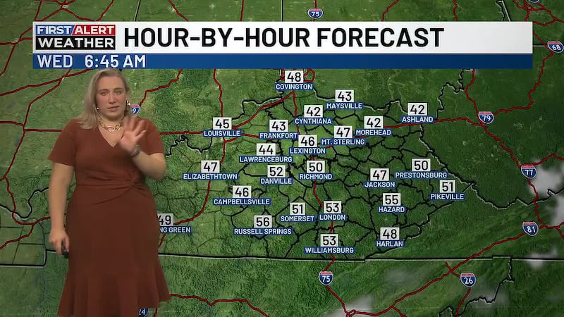
A chilly start across Kentucky this morning, especially in the eastern valleys, where temperatures are dipping into the upper 30s. Most areas are waking up to cool skies with some locations reporting patchy frost.
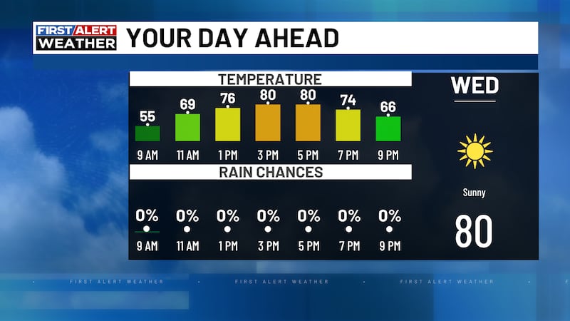
By this afternoon, southwest winds will kick in and quickly warm temperatures into the 70s. It’ll feel much more seasonable, with a mix of clouds and sunshine. A spotty shower or storm can’t be ruled out, mainly across western Kentucky as a system works close to the state, but the majority of the day stays dry.
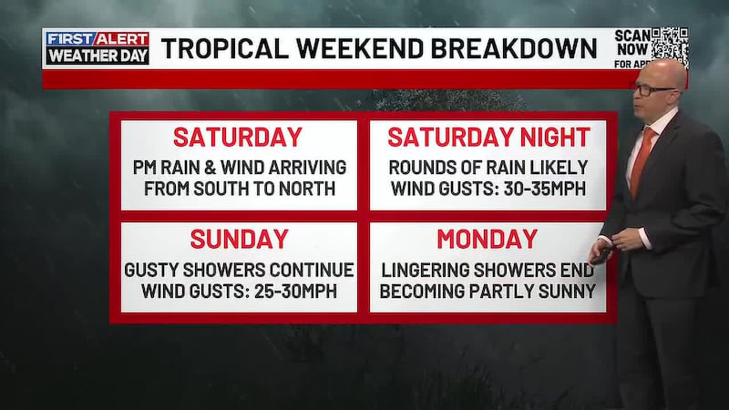
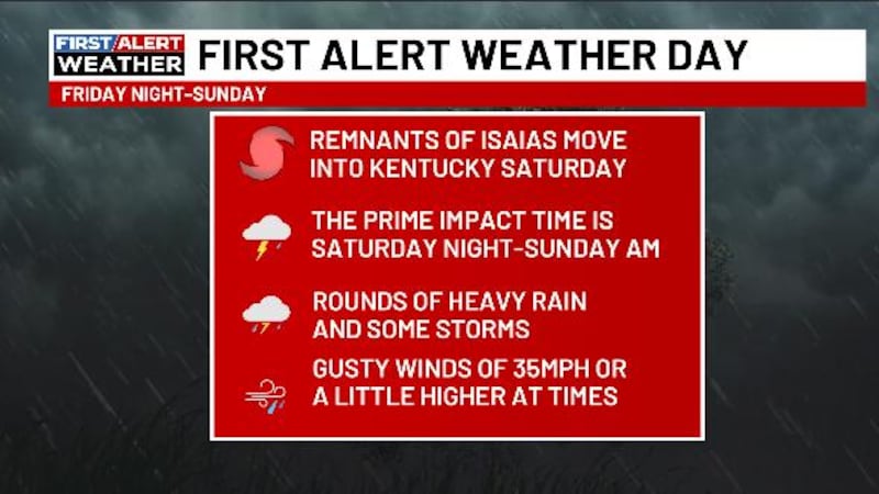
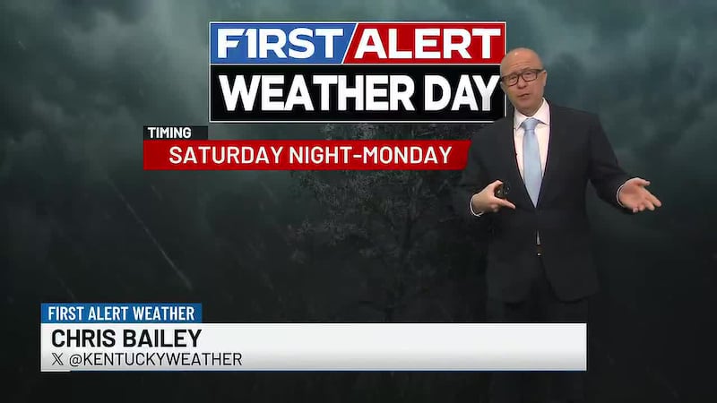
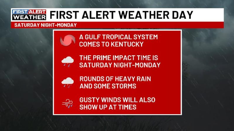
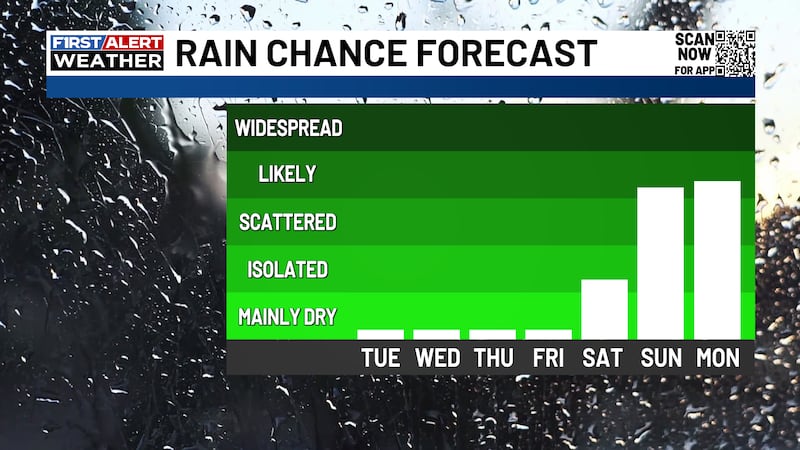
The bigger weather story arrives late tonight into Saturday. Scattered showers and thunderstorms will develop and move through the region, with the highest coverage expected across northern Kentucky. While not everyone will see rain, the storms that do form could be strong at times. There’s a low-end severe weather risk in place, with damaging wind gusts as the primary concern. Even outside of severe storms, expect lightning, brief heavy downpours, and some loud thunder with any activity that moves through.
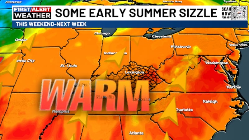
High temperatures will surge into the mid 80s and even low 90s by Sunday and into early next week - marking the first true taste of summer across the Bluegrass.
Take advantage of the pockets of sunshine while we have them this weekend!

Copyright 2026 WKYT. All rights reserved.