FIRST ALERT FORECAST: A few severe storms possible before the summer feel
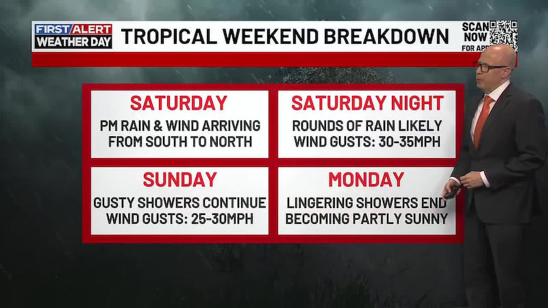
LEXINGTON, Ky. (WKYT) - Scattered showers and storms will cross the area this evening, and a few of those could be severe. This is ahead of some summer like temperatures starting Sunday.
Showers and thunderstorms will be likely this evening with a few storms being on the strong to severe side. Damaging winds, large hail, and a low tornado risk are the threats with any shower or storm that could go severe. A leftover shower or two will be with us after midnight as we see lows in the low to mid 60s.
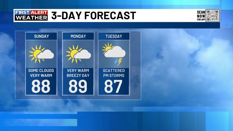
Plenty of sunshine will be with us to start the day Sunday with just a few passing clouds arriving in the afternoon. It will be a very warm day with highs in the upper 80s to around 90 degrees. Clear skies will be with us Sunday evening and overnight with lows in the mid to upper 60s.
Mostly sunny skies will kick off Monday as some more clouds get added in the afternoon. It will be a very warm and breezy day with highs in the upper 80s to low 90s. Partly to mostly cloudy skies will be with us for Monday night with lows in the upper 60s to low 70s.
We will start Tuesday with a mix of sun and clouds across our area. A stray shower or thunderstorm will be possible in the afternoon as highs reach the mid to upper 80s. More showers and thunderstorms will make their arrival Tuesday evening and overnight with lows in the mid to upper 60s.
Rounds of showers and thunderstorms will continue into Wednesday with scattered activity in the morning, turning widespread in the afternoon. It will be a cooler day with highs of 75-80 degrees. Rain will continue to be likely into Wednesday night with lows in the mid to upper 50s.
More showers will be with us throughout the day Thursday as it really cools down. Highs on Thursday will only reach the mid to upper 60s with lows in the low to mid 50s.

Rain will be likely yet again on Friday with a few rumbles of thunder and highs in the upper 60s to low 70s. The rainy pattern continues into the start of Memorial Day weekend.
Copyright 2026 WKYT. All rights reserved.