Alexa Minton’s Forecast | Temps are toasty to start the week
LEXINGTON, Ky. (WKYT) - Another toasty day is in store for the Commonwealth ahead of a rainy and stormy week.
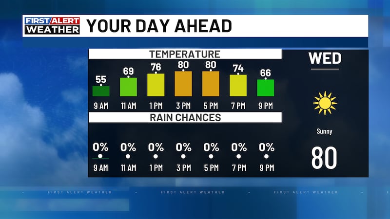
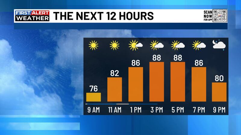
Summer-like heat is settling into Kentucky again today, and it’s coming in strong. Afternoon highs will surge into the upper 80s and low 90s, with a few locations potentially tying or even breaking daily temperature records. Plenty of sunshine is in store with some pockets of gustier winds later in the day.
While the Bluegrass bakes in the sun today, a much more volatile setup is unfolding just to our west. Parts of the Great Plains are in the crosshairs for severe weather today, but Kentucky stays on the quieter side, avoiding the action for today.
A few showers and thunderstorms may develop across western Kentucky this evening, with a better chance for stronger storms pushing into western parts of the state overnight. Some of these could become strong, even severe at times, as energy builds ahead of an approaching cold front.
A line of showers and thunderstorms is expected to develop and move through Tuesday evening into Tuesday night. Some storms could be strong to severe, capable of producing damaging winds, heavy rainfall, and possibly hail. While storms may weaken as they track southeast, they’ll still be capable of producing impactful weather.
Unfortunately, this front won’t sweep through quickly. It slows down and stalls near the region, setting the stage for a prolonged stretch of unsettled weather.
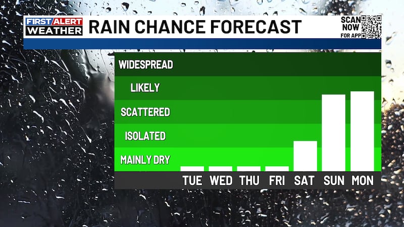
From midweek through the Memorial Day weekend, waves of low pressure will ride along this boundary, bringing repeated chances for showers and thunderstorms. That means the unofficial start of summer could feature more clouds, storms, and interruptions than sunshine.
Have a great Monday - enjoy our summer-like sizzle!

Copyright 2026 WKYT. All rights reserved.